Map Gallery
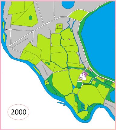
Time line Graphic to illustrate the development of the landscape
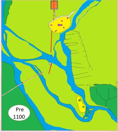
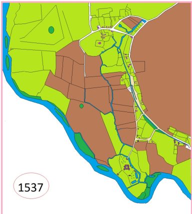
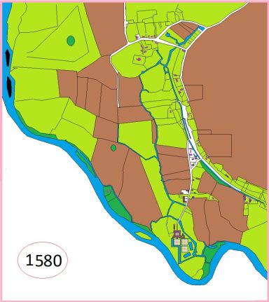
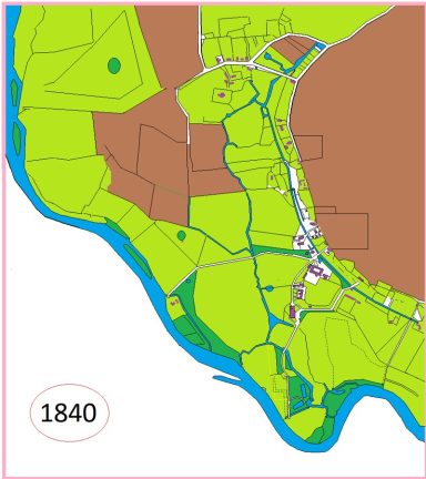
These graphics I have produced try to show how I think the environment around Ankerwycke developed over the last 1000 years.
The course of the Thames hasn't changed greatly from its present route, though in the centuries prior to 1100 it would have consisted of a more braided system. Palaeochannels are evident beneath the ground surface and allude to a very different landscape following the last Ice Age.

Image above : Wraysbury Enclosure Map {Berkshire Record Office Ref IR111]

Image above: Ordnance Survey First Draft c1811

Image above: 1840 Tithe Map of Wraysbury

Image above : 1912 Ordnance Survey Map. 6 Inch
© Copyright. All rights reserved.
We need your consent to load the translations
We use a third-party service to translate the website content that may collect data about your activity. Please review the details in the privacy policy and accept the service to view the translations.

